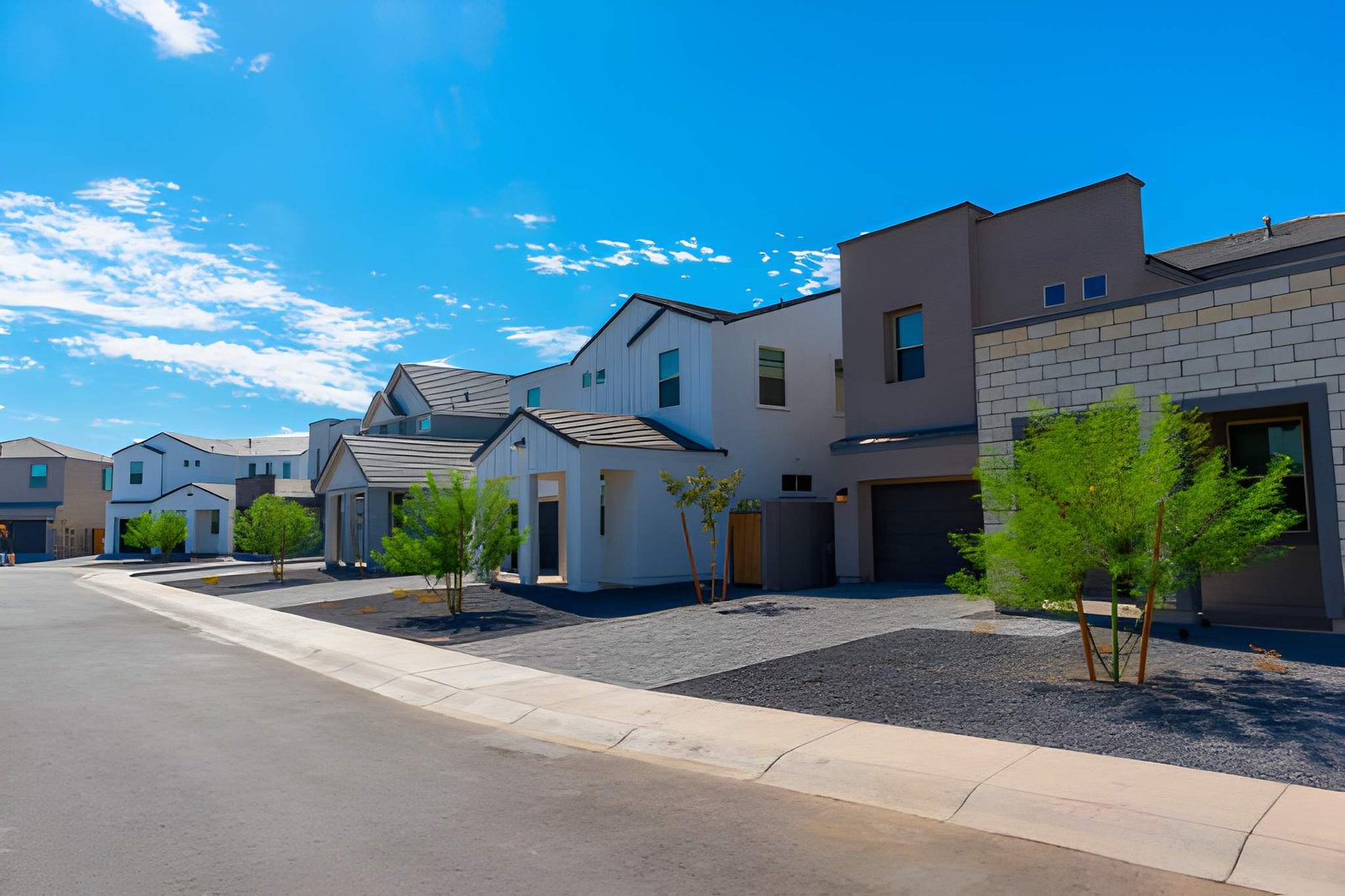
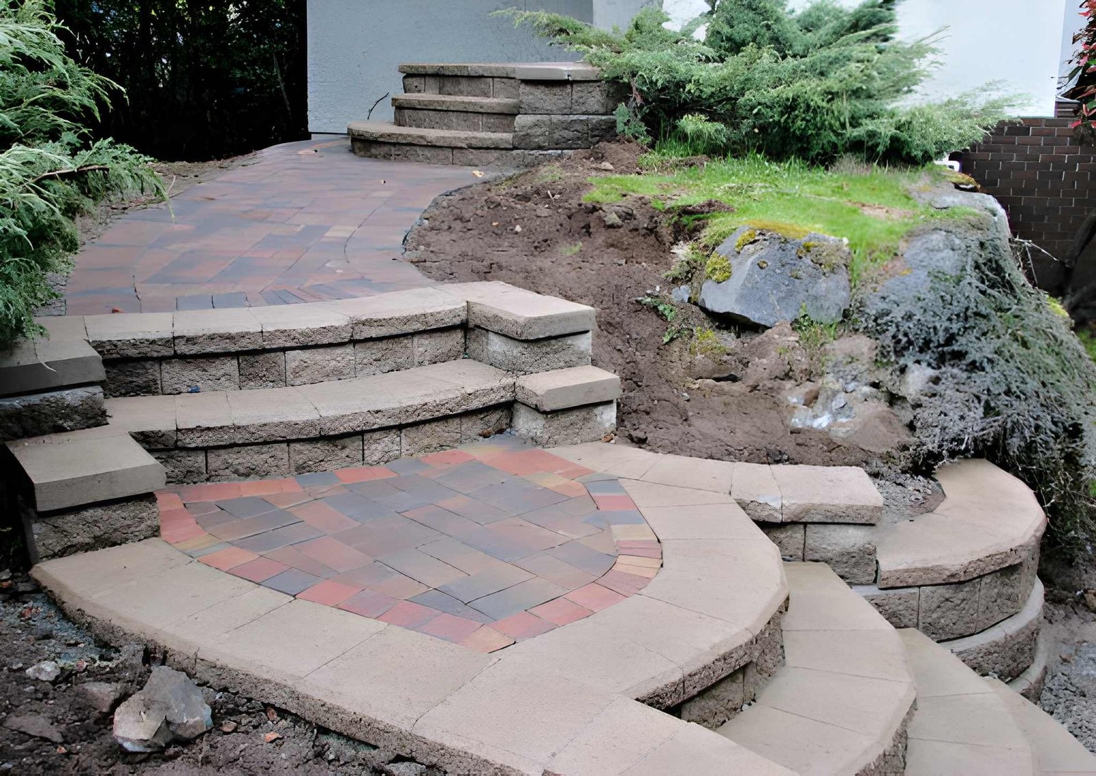
Wetland Landscape Development: From Grading to Compliance
Category Landscaping
Wetland Landscape Development: From Grading to Compliance
Landscape development in wetland mitigation describes the multi-year physical and ecological build-out of a compensatory wetland site — from initial grading and infrastructure installation through the plant establishment period and into long-term compliance monitoring. It is a distinct, sequential phase that begins where landscape design ends, and it is where most mitigation projects either succeed or fail inspection.
Grover’s Landscape Services & Design has managed wetland mitigation and site preparation and excavation projects across Lake Oswego, Portland, Tualatin, Milwaukie, and Wilsonville since 1995. We guide property owners through every development phase — from the first earthwork cut to final DSL security release.
How Does “Landscape Development” Differ from “Landscape Design” in a Wetland Mitigation Bank?
In a wetland mitigation bank, landscape design produces the approved plan — the grading drawings, plant schedules, hydrology targets, and monitoring protocols that earn permit approval. Landscape development is everything that follows: the physical construction, ecological establishment, adaptive management, and annual compliance reporting that must satisfy performance standards over a three-to-ten-year monitoring period.
The distinction matters because the two phases demand different expertise, different timelines, and different accountability structures:
- Design is a document deliverable. It is reviewed by Oregon DSL, the U.S. Army Corps of Engineers, and the City of Lake Oswego Planning Division before any ground is broken. A flawed design can be revised on paper at low cost.[1]
- Development is an ecological process. Once grading is complete and plants are in the ground, errors cannot be revised on paper — they require remedial earthwork, replanting, or extended monitoring. A performance bond or financial security held by DSL remains locked until the site passes all monitoring criteria.[1]
In a mitigation bank specifically, the bank sponsor carries development risk for the entire service area. The City of Eugene’s Amazon Prairie Mitigation Bank — one of Oregon’s most cited examples — describes its development phase as requiring not just construction but also long-term stewardship capacity and ecological monitoring to maintain its status as a credit source for other permittees.[2] For a private residential property owner in Lake Oswego, the same principle applies at a smaller scale: DSL holds your financial security until the site demonstrates ecological success across all permit thresholds.
What Are the 2026 International Guidelines on Integrated Wetland Infrastructure?
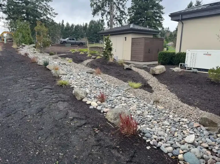
The most current international framework governing integrated wetland land-use and infrastructure planning is the IUCN–Ramsar collaboration under IUCN’s Nature 2030 Programme, updated in its second edition in February 2026. The framework positions wetlands as central infrastructure assets — not regulatory constraints — requiring integrated conservation efforts across biodiversity protection, climate resilience, and human well-being.[3]
At the engineering practice level, the American Society of Civil Engineers (ASCE) adopted Policy Statement 575 on Nature-Based Solutions in July 2024, formally endorsing NbS as infrastructure — supporting expanded use of wetland-integrated design in energy, water, and transport projects and calling for post-project monitoring and adaptive management as standard practice.[4]
The Ramsar Convention’s guidance on integrated river basin management further requires that proposed infrastructure developments — including land-use planning near wetlands — account for wetland functions in water allocation and development decisions.[5] For Lake Oswego property owners, this international context is not merely academic: the city’s Sensitive Lands Code and Oregon DSL’s mitigation framework directly implement the same “no net loss” principle these guidelines require at the national level.
Why Is Micro-Topography Critical to the Multi-Year Development Phase?
Micro-topography — the small-scale surface relief of hummocks, hollows, and subtle grade variations across a wetland floor — is the single most important determinant of plant community diversity and hydrological function during a mitigation site’s establishment period. A flat, machine-graded wetland bottom produces uniform hydrology; a micro-topographically varied surface creates adjacent aerobic and anaerobic microsites that support different plant communities, enhance nitrogen cycling, and replicate the structural complexity of natural reference wetlands.
USGS-funded research published in peer-reviewed literature confirms that disking-induced micro-topography during construction significantly enhances vegetation community development in created mitigation wetlands, producing plant communities of equivalent wetland indicator status to natural reference sites.[6] A separate USGS study found that micro-topography enhances nitrogen cycling by creating adjacent areas of aerobic and anaerobic conditions and increasing carbon storage — functions that directly affect a site’s performance scores under Oregon’s Rapid Wetland Assessment Protocol (ORWAP).[7]
For Oregon mitigation projects in the Lake Oswego area, micro-topography engineering during the development phase is relevant for three practical reasons:
- Monitoring survival. Annual monitoring reports assess native plant cover and species diversity. Sites with micro-topographic variation consistently achieve higher cover and diversity targets earlier in the monitoring period — reducing the risk of a performance shortfall in years one to three when permit conditions are most likely to be triggered.
- Invasive resistance. Micro-topographic variation creates habitat niches that native wetland species — slough sedge, wapato, rush — can colonize rapidly, outcompeting reed canarygrass and Himalayan blackberry in the early establishment window.
- Hydrology verification. DSL’s monitoring templates require annual hydrology data.[8] Micro-topographic grading that correctly recreates water table relationships allows hydrology targets to be met passively — without costly pumping or drainage interventions that extend remediation timelines and delay financial security release.
Planning a wetland mitigation project in Lake Oswego or the Portland metro? Call Grover’s Landscape Services & Design at (503) 936-8910 or request a free site walkthrough — we assess your grading requirements, micro-topography design, and monitoring exposure before a single permit is filed.
How Do Nature-Based Solutions Alter the Long-Term Cost of Civil Engineering Projects?
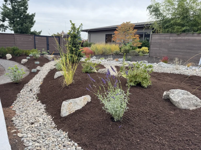
Nature-based solutions reduce the long-term cost of civil engineering projects by replacing or supplementing gray infrastructure — concrete channels, storm pipes, detention tanks — with self-maintaining ecological systems that provide equivalent or superior function at a lower lifecycle cost, while also delivering co-benefits that gray infrastructure cannot.
The evidence base is substantial and growing. ASCE Policy Statement 575 (adopted July 2024) states explicitly that NbS can be more cost-effective than conventional approaches, particularly when maintenance costs and the full range of benefits are accounted for over a project’s lifetime.[4] The Environmental and Energy Study Institute (EESI) cites research finding that wetland and reef restoration along the Gulf of Mexico saves $7 in flood reduction benefits for every $1 spent — and estimates that NbS approaches could help avert more than 45% of climate risk over a 20-year period in flood-prone regions.[9]
For wetland mitigation specifically, NbS-integrated development phases produce cost savings across three time horizons:
Time Horizon | NbS Mechanism | Cost Benefit |
Construction | Reduced earthwork through natural topography use | Lower grading and drainage infrastructure cost |
Establishment (Years 1–5) | Self-sustaining plant communities reduce intervention needs | Lower annual maintenance and invasive-management cost |
Long-term (Years 5+) | Ecological systems provide stormwater, habitat, and carbon functions | Avoided gray infrastructure capital and operating cost |
What Triggers a Regulatory Non-Compliance Penalty During the Wetland Landscape Establishment Period?
Regulatory non-compliance penalties during a wetland landscape establishment period are triggered by missed performance standards in annual monitoring reports — specifically failures in native plant cover thresholds, invasive species exceedances, hydrology target shortfalls, or failure to submit required monitoring documentation on schedule.
Oregon DSL requires a financial security or performance bond for permittee-responsible mitigation, held until the project is deemed successful across all permit performance standards.[1] DSL’s joint monitoring template with the Army Corps tracks performance standard compliance verbatim from the permit — a “No” against any standard triggers a remedial action recommendation.[8] The four most common compliance triggers are:
- Native cover below permit threshold. Most Oregon permits require 80% native cover by year three. A monitoring report recording 60% cover triggers a remedial planting requirement — and resets the monitoring clock for that metric, extending the compliance period and delaying financial security release.
- Invasive species above permit threshold. Reed canarygrass or Himalayan blackberry exceeding the permitted cover threshold — commonly 10 to 15% — triggers a required invasive management response documented in the next annual report. Two consecutive years of exceedance can trigger DSL enforcement inquiry under ORS 196.795–990.[10]
- Hydrology not achieved. If the grading phase did not establish correct inundation depth and duration, hydrology monitoring data will fail permit targets. Remedial grading — the most expensive corrective action — may be required before the monitoring period can continue.
- Late or missing monitoring reports. DSL and the Corps both require annual reports filed on schedule. A permit holder who fails to submit a report is in technical non-compliance regardless of field conditions. EPA handles enforcement for unauthorized activities under the Clean Water Act and coordinates joint enforcement actions with DSL.[11]
Frequently Asked Questions
How does "landscape development" differ from standard "landscape design" in a wetland mitigation bank?
Landscape design produces the approved permit plan — grading drawings, plant schedules, and hydrology targets. Landscape development is the multi-year physical and ecological build-out that follows: earthwork, plant establishment, invasive management, and annual compliance monitoring. In a mitigation bank, the sponsor carries development risk across the entire service area. For a residential permittee, DSL holds a financial security bond until all performance standards are met across the full monitoring period.
What are the current 2026 international guidelines regarding integrated wetland infrastructure?
The IUCN–Ramsar collaboration’s second-edition brief (February 2026) positions wetlands as central infrastructure assets under IUCN’s Nature 2030 Programme, requiring integrated conservation efforts across biodiversity, climate resilience, and human well-being. ASCE Policy Statement 575, adopted July 2024, formally endorses NbS as civil infrastructure, supporting wetland-integrated design in major engineering projects with post-project adaptive management as standard practice.
Why is micro-topography critical to the multi-year development phase of a mitigated wetland?
Micro-topographic surface variation creates adjacent aerobic and anaerobic microsites that support diverse native plant communities, enhance nitrogen cycling, and replicate the structural complexity of natural reference wetlands. USGS-supported research shows that disking-induced micro-topography during construction produces plant communities of equivalent wetland indicator status to natural sites. Without it, flat-graded mitigation sites produce uniform hydrology, lower species diversity, and higher invasive-species pressure — all of which increase monitoring failure risk.
How do Nature-Based Solutions (NbS) alter the long-term cost of civil engineering projects?
ASCE confirms NbS can be more cost-effective than conventional approaches when maintenance costs and full project benefits are counted over a project’s lifetime. Research cited by EESI finds wetland restoration saves $7 in flood reduction benefits for every $1 invested in applicable contexts. In Lake Oswego, a well-executed NbS mitigation site can simultaneously satisfy Sensitive Lands permit conditions and Stormwater Management Code green infrastructure requirements, eliminating the cost of separate stormwater infrastructure.
What triggers a regulatory non-compliance penalty during the wetland landscape establishment period?
Non-compliance is triggered by annual monitoring reports that record failures against permit performance standards — most commonly native cover below threshold, invasive species above threshold, unmet hydrology targets, or late report submission. DSL holds a financial security bond for permittee-responsible mitigation, released only after all standards are met. EPA coordinates joint enforcement for Clean Water Act violations with DSL, and remedial actions — replanting, invasive removal, or remedial grading — can extend the monitoring period and delay security release by one or more years.
Conclusion
Landscape development in wetland mitigation is where the permit becomes reality — and where the gap between a well-designed plan and a well-executed site is measured in annual monitoring reports and held financial security. Getting micro-topography right, choosing the correct NbS development approach, and staying ahead of compliance triggers are not details to delegate to chance. They are the difference between a monitoring period that ends on schedule and one that runs years longer than projected.
Grover’s Landscape Services & Design has managed wetland landscape development projects across Lake Oswego, Portland, Tualatin, Milwaukie, and Wilsonville since 1995. Call (503) 936-8910 or request a free consultation — we will review your site conditions, permit requirements, and development timeline before a single machine moves earth.
References:
- Oregon Department of State Lands, “Mitigation — Compensatory Mitigation & Financial Security (ORS 196.795–990).” https://www.oregon.gov/dsl/WW/Pages/Mitigation.aspx
- City of Eugene, Oregon, “Wetland Mitigation Banking Program — Amazon Prairie Mitigation Bank.” https://www.eugene-or.gov/497/Wetland-Mitigation-Bank
- IUCN, “IUCN–Ramsar Collaboration: Supporting the Wise Use of Wetlands (Second edition, February 2026).” https://iucn.org/resources/information-brief/iucn-ramsar-collaboration-supporting-wise-use-wetlands-0
- American Society of Civil Engineers, “Policy Statement 575 — Nature-Based Solutions (adopted July 18, 2024).” https://www.asce.org/advocacy/policy-statements/ps575—nature-based-solutions
- Ramsar Convention, “Guidelines for Integrating Wetland Conservation into River Basin Management (Resolution VII.18).” http://archive.ramsar.org/cda/en/ramsar-documents-guidelines-new-guidelines-for/main/ramsar/1-31-105%5E20857_4000_0__
- Springer Nature / Wetlands Journal, “Characterization of Microtopography and Its Influence on Vegetation Patterns in Created Wetlands.” https://link.springer.com/article/10.1672/0277-5212(2007)27%5B1081:COMAII%5D2.0.CO;2
- U.S. Geological Survey, “Microtopography Enhances Nitrogen Cycling and Removal in Created Mitigation Wetlands.” https://pubs.usgs.gov/publication/70032484
- Oregon DSL / U.S. Army Corps of Engineers, “Mitigation Monitoring Annual Report Template.” https://www.oregon.gov/dsl/wetlands-waters/Documents/MitigationMonitoring_ReportTemplate.doc
- Environmental and Energy Study Institute (EESI), “Fact Sheet: Nature as Resilient Infrastructure — An Overview of Nature-Based Solutions.” https://www.eesi.org/papers/view/fact-sheet-nature-as-resilient-infrastructure-an-overview-of-nature-based-solutions
- Oregon Department of State Lands, “Wetland Planning and Conservation — ORS 196.795–990.” https://www.oregon.gov/dsl/ww/pages/wetlandconservation.aspx
- Oregon Department of State Lands, “2024 Edition Removal-Fill Guide — EPA Enforcement Coordination.” https://www.oregon.gov/dsl/wetlands-waters/Documents/Removal_Fill_Guide.pdf